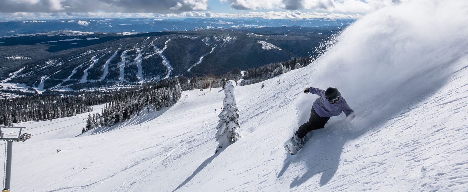
Sun Peaks Resort is the 2nd largest ski resort in Canada nestled in the beautiful mountains of British Columbia with 4,270 acres of ski terrain.
| Ski Area | 4,270 acres of terrain |
| Mt. Tod Summit Elevation | 2,152m (7,060′) |
| Burfield Chairlift Summit Elevation | 2,080m (6,824′) |
| Village Base Elevation | 1,255m (4,116′) |
| Skiable Vertical | 882m (2,894′) |
| Sunburst Express Chairlift | Base Elevation 1,255m (4,117′) Top Elevation 1,850m (6,069′) |
| Sundance Express Chairlift | Base Elevation 1,255m (4,117′) Top Elevation 1,730m (5,679′) |
| Elevation Chairlift | Base Elevation 1,550m (5,085′) Top Elevation 1,863m (6,112′) |
| Crystal Chairlift | Base Elevation 1,766m (5,794′) Top Elevation 2,061m (6,762′) |
| Morrisey Express Chairlift | Base Elevation 1,277m (4,189′) Top Elevation 1,675m (5,495′) |
| Orient Chairlift | Base Elevation 1,277m (4,189′) Top Elevation 1,525m (5,003′) |
| Burfield Chairlift | Base Elevation 1,198m (3,930′) Top Elevation 2,080m (6,824′) |
| West Bowl T-Bar | Base Elevation 1,903m (6,243′) Top Elevation 2,069m (6,788′) |
| Bowls | 2 alpine bowls |
| Longest Run | Up to 8km (5 miles) long |
| Trails & Glades | 137 trails, including 19 gladed areas |
| Terrain Type | 10% novice (green circle) 58% intermediate (blue square) 32% advanced and expert (black diamond and double-black diamond) |
| Terrain Park | 10 acre terrain park with zones for all abilities |
| Types of Lifts | 13 lifts, including 4 high speed quad chairlifts, 2 quad chairlifts, 1 triple chairlift, and 6 surface lifts |
| Lift Capacity | 13,600 riders per hour |
| Annual Snowfall | 6m (237″) of powder |
| Nordic (Cross Country) | 37.8km of groomed and track set 17km of backcountry trails |
| Average Temperatures | December -9.5ºC / 15ºF January -6.7ºC / 20ºF February -6.1ºC / 21ºF March -3.9ºC / 25ºF April -1.1ºC / 30ºF |
Check the status of the lifts and trails before heading out to your winter adventures.